


Latest news

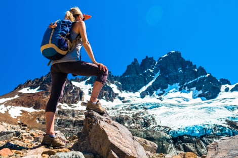
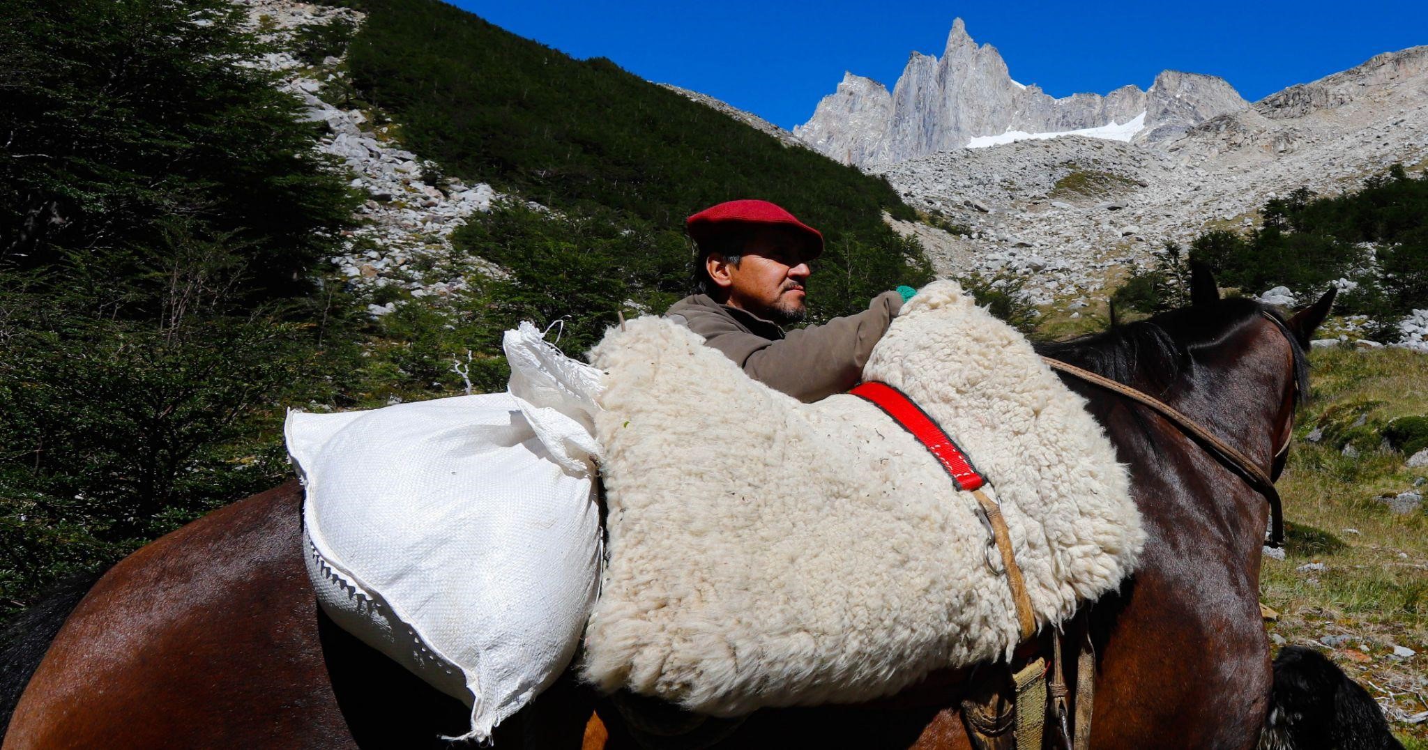
A colossal tectonic cataclysm plunged the Andes Mountains into the sea configuring a totally dismembered geography in which pile up archipelagos, fjords and channels from the Reloncaví Sound to the Tierra del Fuego. To the east, Chilean Patagonia also includes the edges of the Argentine steppes and to the south, most of the Tierra del Fuego and its archipelagos, to Cape Horn.
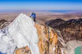
The Atacama Desert is the driest inhabited desert on Earth, 105,000 km2, which extends in the north of Chile covering 14 degrees of latitude with a maximum width of 180 km between the Cordillera de Los Andes and the Pacific Ocean. A part of it is the Puna de Atacama or Altiplano at 3500 msnm. shared with Bolivia and Argentina.

From Lake Titicaca to the south, the Andes Mountain Range separates in two, leaving between them a high plateau of tertiary origin whose average altitude is 4,000 meters above sea level, a very extensive plateau of at least 10 ° latitude that is shared by four countries : Argentina, Bolivia, Chile and Peru.
On the eastern edge of the great plateau of Bolivia, southeast of Lake Titicaca, the Cordillera Real rises majestically, which some called “the Himalayas of the New World” because it undoubtedly lives up to its name “REAL”.